I am very much a visual learner; meaning I remember things better if presented in graphic or visual form rather than just text. I am also an analytical person. I will look at a graph, chart or map and ask “WHY?”
And so, I look at the map below and I ask: “Why was the bridge over the Mae Klong placed where it is?” The map clearly shows that once the bridge was built across the Mae Klong the railway takes a hard left turn and doubles-back on itself for 3-4 kilometers. Once it reaches the Kwai Noi River it turns again and runs parallel to that tributary for many kilometers before swerving inland a bit and up to Hellfire Pass.
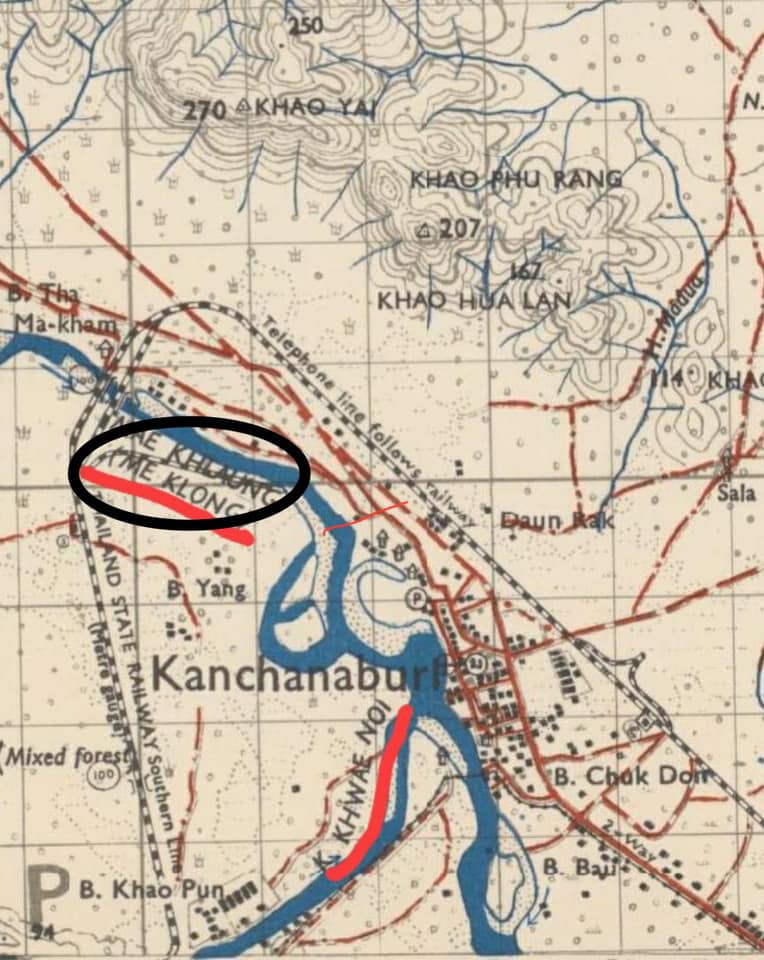
So I ask myself: “Why didn’t the Japanese engineers turn left (west) as they approached Kanchanaburi?” Seemingly, they could have laid 6-8 kilometers less track to get to the same point.
So I opened a discussion among other aficionados on FACEBOOK. I had assumed that the answer would come done to geology and the stability of the river bed to construct a bridge. According to one contributor. I was correct.
I had suggested that a crossing of the Mae Klong near the point where the Kwai Noi merges would have been a more direct route. A contributor offered that one of the engineers [ Across the Three Pagodas Pass: The Story of the Thai-Burma Railway by Japanese Engineer Yoshihiko Futamatsu as translated by Ewart Eckert; see Section 10.5 for a full treatment of this treatise. ] had written a book about his time of the TBR. In it, he explains that the current site of the iron bridge (bridge #2 at the same point) was chosen because of the high banks and the stability of the river bed. Apparently, the placement that I was suggesting was more direct was simply not as suitable to building a strong and stable bridge. That area would have been more subject to flooding in the sense of rapidly changing water levels depending on the rainfall in the mountains to the west that fed the two rivers. In addition, the geologic conditions of the river bed there were less amenable to a stable bridge.
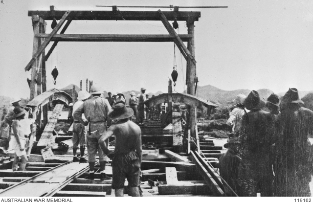
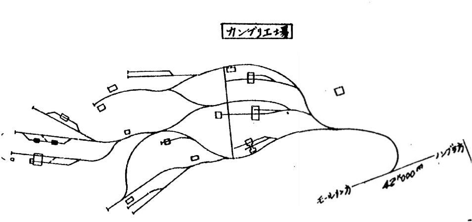
An alternative explanation involves simple space / area. In 1942, the area next to the bridge was a bit north of the actual town of Kanchanaburi (often called Kanburi in POW accounts). Some of the early British POWs found themselves not actually building the railway but constructing a huge rail yard near the proposed site of the bridge.
As LTC Toosey’s men were laboring to build the bridge, The Japanese were stockpiling supplies and rolling stock to be used once the railway crossed the river. Seemingly, they needed a large open area outside the city to construct such a yard. Hence, the choice of crossing the river both at a geologically amenable area and one that had space for a rail yard. An even larger rail yard was eventually established at Khao Din a few kilometers to the east of Kanchanaburi.